
Enlarge image
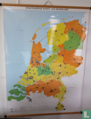
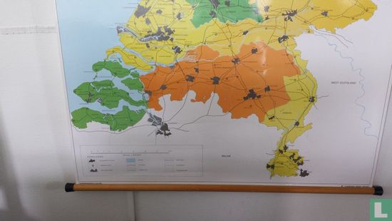
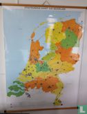
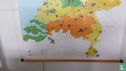
Staatkundige kaart van Nederland t.b.v. het onderwijs


Catalogue information
LastDodo number
5567255
Area
Maps and globes
Title
Staatkundige kaart van Nederland t.b.v. het onderwijs
Type
Manufacturer / publisher
Country of publication
Cartographer / designer
Year
1980
Print Run
1
Collection / set
Number in collection
Addition to number
Scale
Continent
Country
Not independent areas
Former countries and colonies
Region / province
City
Material
Type of colouring
Language / dialect
Theme
Dimensions
102 x 136 cm
ISBN13
ISBN10
Details
Plasticized school map with wooden sticks and linen hanging loop.
This text has been translated automatically from Dutch
Click here for the original text
Geplastificeerde schoolkaart met houten stokken en linnen ophanglus.