Enlarge image
De bodem van Utrecht. Toelichting bij de bodemkaart van Nederland 1:200.000.

Catalogue information
LastDodo number
5461479
Area
Maps and globes
Title
De bodem van Utrecht. Toelichting bij de bodemkaart van Nederland 1:200.000.
Type
Manufacturer / publisher
Country of publication
Cartographer / designer
Year
1966
Print Run
Collection / set
Number in collection
Addition to number
Scale
Continent
Country
Not independent areas
Former countries and colonies
Region / province
City
Material
Type of colouring
Language / dialect
Theme
Dimensions
ISBN13
ISBN10
Details
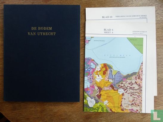
Poelman, J.N.B. 1966. The bottom of Utrecht. Explanation of the soil map of the Netherlands 1: 200,000. Stiboka, Wageningen. 107 pp., 34 figs / photos, 8 plates with photos, 3 folded plates incl. Colored bottom map. Orig. linen, 4to.
This text has been translated automatically from Dutch
Click here for the original text
Poelman, J.N.B. 1966. De bodem van Utrecht. Toelichting bij de bodemkaart van Nederland 1:200.000. Stiboka, Wageningen. 107 pp., 34 fig./foto's, 8 platen met foto's, 3 gevouwen platen incl. gekleurde bodemkaart. Orig. linnen, 4to.