
No image
Enlarge image
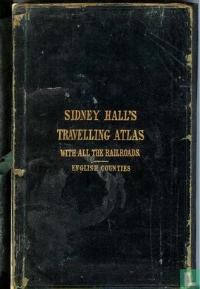
Sidney Hall's Travelling Atlas with all the railroads


Catalogue information
LastDodo number
424541
Area
Books
Title
Sidney Hall's Travelling Atlas with all the railroads
subtitle
English counties
Author
Literary collection
Literary number
Addition to number
Publisher
Series / hero
Original title
Translator
Illustrator
Year
1850
Print Run
First edition
Type of book
Number of pages
Number produced
Dimensions
x cm
ISBN10
ISBN13
Barcode / EAN / UPC
Language / dialect
Country of publication
Details
All 46 maps present & correct, maps generally 10 x 8 inch, "accurately laid down, and the bounderies colored", maps all hinged in with single fold except Yorkshire & Ireland which are double size.
This text has been translated automatically from Dutch
Click here for the original text
All 46 maps present & correct, maps generally 10 x 8 inch, "accurately laid down, and the bounderies coloured", maps all hinged in with single fold except Yorkshire & Ireland which are double size.