

Enlarge image
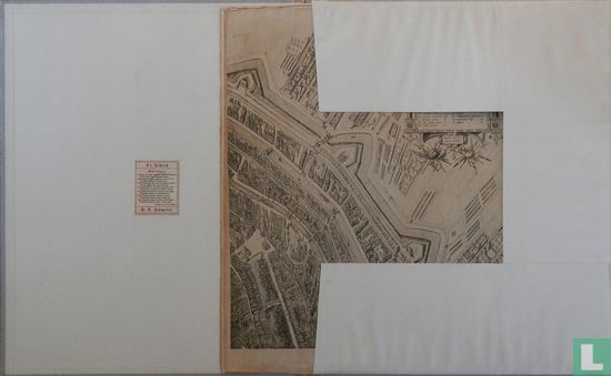
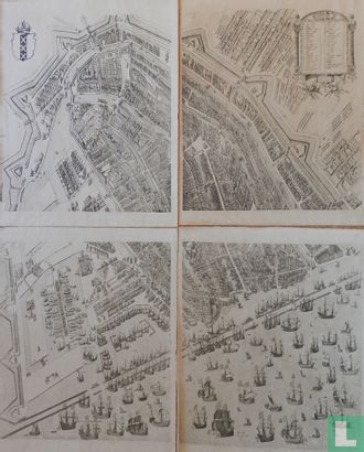
Amsterdam in het einde der zestiende eeuw.


Catalogue information
LastDodo number
3919411
Area
Maps and globes
Title
Amsterdam in het einde der zestiende eeuw.
Type
Manufacturer / publisher
Country of publication
Cartographer / designer
Year
1925
Print Run
Collection / set
Number in collection
Addition to number
Scale
Continent
Country
Not independent areas
Former countries and colonies
Region / province
City
Material
Type of colouring
Language / dialect
Theme
Dimensions
43,5 x 54 cm
ISBN13
ISBN10
Details
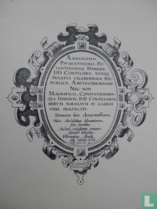
4 Facsimilé map parts (51 x 42 cm) which together represent the city center of Amsterdam. By: Pieter Bast, Haarlem. Genootschap Amstelodamum, book with explanatory notes, including illustrations in black and white, on the map of Amsterdam in the late sixteenth century by C.P. Burger jr. 24 p. 23 x 30 cm.
This text has been translated automatically from Dutch
Click here for the original text
4 Facsimilé kaartdelen (51 x 42 cm) welke tesamen de stadskern van Amsterdam voorstellen. Door: Pieter Bast, Haarlem.
Genootschap Amstelodamum, boek met toelichting, incl.illustraties in zwart/wit, op de plattegrond van Amsterdam in het eind der zestiende eeuw door C.P. Burger jr.
24 blz.
23 x 30 cm.