Enlarge image
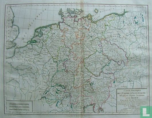
Carte Politique de l'empire d'allemagne

Catalogue information
LastDodo number
3823149
Area
Maps and globes
Title
Carte Politique de l'empire d'allemagne
Type
Manufacturer / publisher
Country of publication
Cartographer / designer
Year
1805
Print Run
Collection / set
Number in collection
Addition to number
Scale
Continent
Country
Not independent areas
Former countries and colonies
Region / province
City
Material
Type of colouring
Language / dialect
Theme
Dimensions
42 X 32 CM
ISBN13
ISBN10
Details
Political map of the German Empire.
This text has been translated automatically from Dutch
Click here for the original text
Politieke kaart van het duitse rijk.