

No image

Enlarge image
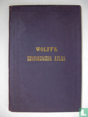
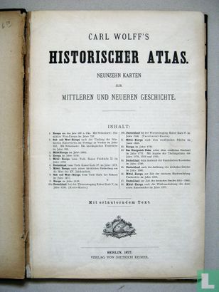
Wolff's Historischer Atlas


Catalogue information
LastDodo number
2133823
Area
Books
Title
Wolff's Historischer Atlas
subtitle
Author
Literary collection
Literary number
Addition to number
Publisher
Series / hero
Original title
Translator
Illustrator
Year
1877
Type
Print Run
First edition
Type of book
Number of pages
Number produced
Dimensions
24.0 x 36.0 cm
ISBN10
ISBN13
Barcode / EAN / UPC
Language / dialect
Country of publication
Details
The atlas contains title page, 2 pages foreword, 8 pages explanatory text and errata, and 19 maps in color lithography, each on 2 pages (printed on one side). The atlas was intended for use in school and for other interested people in history. It gives a picture of the history of Europe from about 500 AD. Chr. It consists of five basic maps (Europe, Southern and Western Europe, Central Europe, Poland and Western Russia, Germany), on which the situation is projected in different periods. Note there is another Wolf who published a historical atlas, which is rarer. The atlas is sold in good condition for a maximum of € 75.00.
This text has been translated automatically from Dutch
Click here for the original text
De atlas bevat titelpagina, 2 bladzijden voorwoord, 8 bladzijden verklarende tekst en errata, en 19 kaarten in kleurenlithografie, elk op 2 pagina’s (enkelzijdig bedrukt).
De atlas was bedoeld voor gebruik op school en voor andere geïnteresseerden in geschiedenis. Hij geeft een beeld van de geschiedenis van Europa vanaf ongeveer 500 n. Chr. Hij bestaat uit vijf basiskaarten (Europa, Zuid- en West-Europa, Midden-Europa, Polen en West-Rusland, Duitsland), waarop de situatie in verschillende periodes is geprojecteerd. Let op er is nog een Wolf die een historisch atlas uitgegeven heeft, die zeldamer is. De atlas wordt in goede staat voor € 75,= maximaal verkocht.