Enlarge image
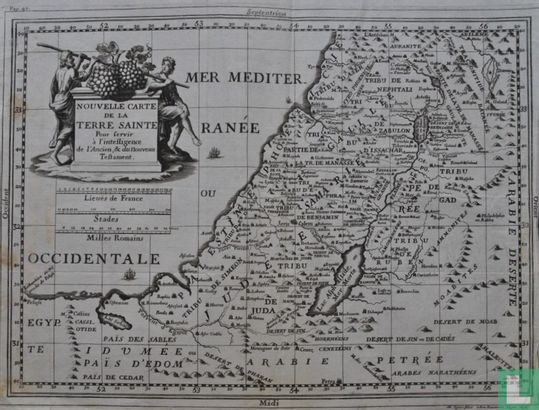
Nouvelle Carte de la Terre Sainte

Catalogue information
LastDodo number
4875141
Area
Prints / graphics
Title
Nouvelle Carte de la Terre Sainte
Artist
Technique
Year
1717
Print run
Signed
Publisher
Dimensions
27,4 x 37,3
Printing office
Theme
Details
Map of the Holy Land and parts of the surrounding lands, published at Lyon by Mathieu Ogier in 1717, in: 'Le Grand dictionnaire de la Bible, par Richard Simon'. Card self signed and dated in print: 'M. Ogier fecit. à Bon Rencontre à Lyon 1698. '
This text has been translated automatically from Dutch
Click here for the original text
Kaart van het Heilige land en delen van de omringende landen, uitgegeven te Lyon door Mathieu Ogier in 1717, in: 'Le Grand dictionnaire de la Bible, par Richard Simon'. Kaart zelf signeerd en gedateerd in druk: 'M. Ogier fecit. à Bon Rencontre à Lyon 1698.'